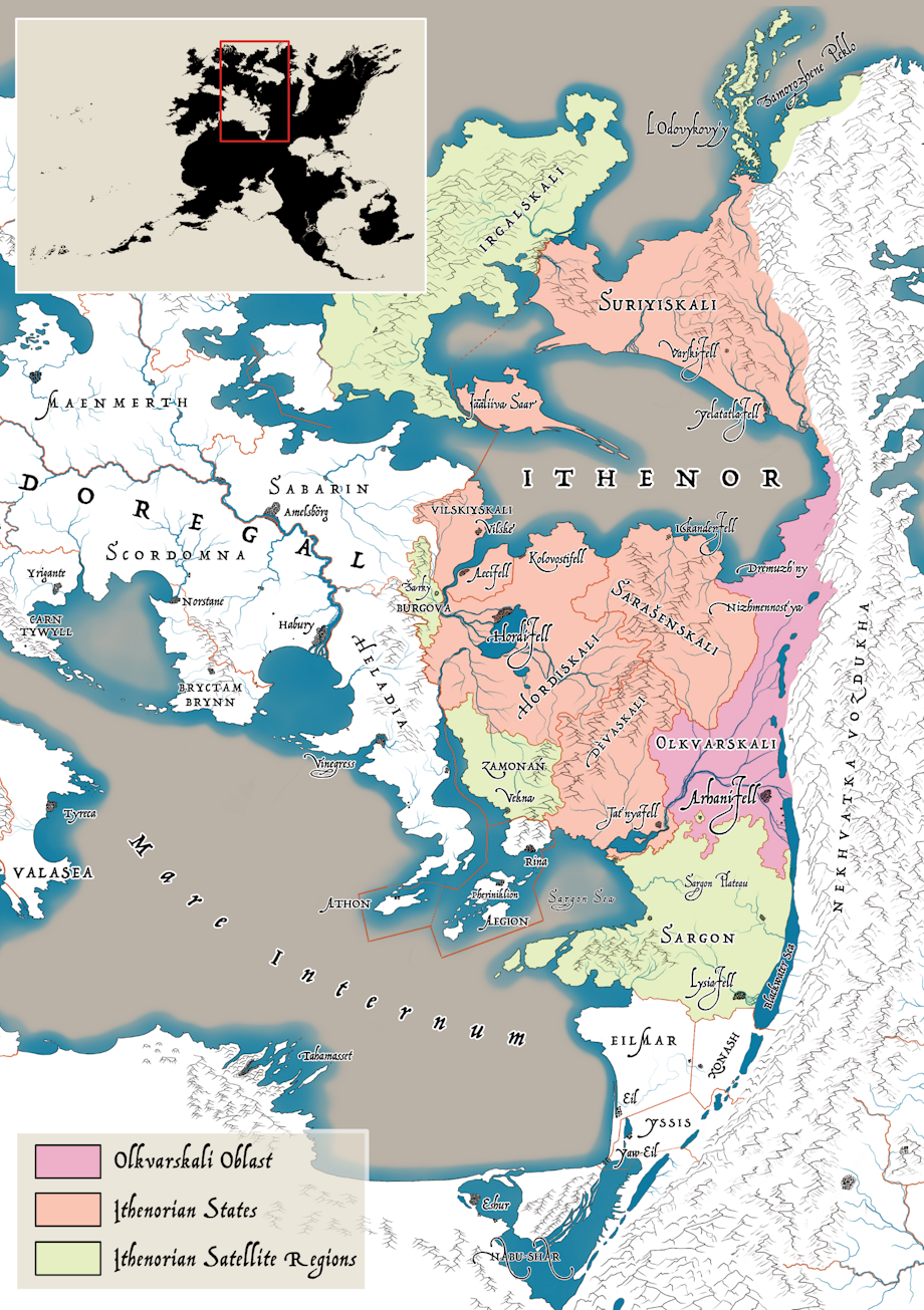
True to fashion, I went extra hard on worldbuilding for Sasha Tatlavica. This map inset shows the location of the Ithenor region, and highlights the Olkvarskali Oblast; other Ithenorian Oblasts; and Ithenorian satellite states like Sargon, Burgova and Zamonan. This map represents the political map of Ithenor in the early 1780s.
Details
Published:
4 months, 2 weeks ago
10 Mar 2025 08:05 CET
Initial: 3f1e554b26d2ca8620b0856eb8e131d9
Full Size: a612d21c4d0d3086c702bc33e2fcb478
Large: 013c7a59a58ec8b34900f1726cedff56
Small: 634703c45c0380d8a3d1bca40a00f436
Stats
109 views
5 favorites
1 comment
